India is administratively divided into states and union territories, which are further divided into districts for governance and development. A common general knowledge question is: which is the biggest district in India?
Based on the geographical area, the answer is the Kutch district. This article provides a well-researched, SEO-friendly, and detailed explanation of the biggest district in India, covering its area, population, location, history, administration, and other important facts.
Biggest District in India: Kutch
The biggest district in India is Kutch, located in the state of Gujarat. Kutch is not only the largest district in India by area but also one of the most geographically diverse regions in the country.
Key Facts About the Biggest District in India
District Name: Kutch (also spelled Kachchh)
State: Gujarat
Headquarters: Bhuj
Area: 45,674 sq km
Status: The biggest district in India by area
With an area larger than many Indian states, Kutch clearly holds the title of the biggest district in India.
Area and Population of Kutch District
Area
Kutch covers 45,674 square kilometers, making it the largest district in India. Its vast size includes deserts, coastal plains, salt marshes, and grasslands.
Population (Census 2011)
According to the 2011 Census:
Total Population: 20,92,371
Population Density: 46 persons per sq km
Literacy Rate: 71.58%
Sex Ratio: 908 females per 1000 males
Decadal Growth Rate (2001–2011): 32.16%
Despite being the biggest district in India, Kutch has a relatively low population density due to its large desert and semi-arid areas.
Location of the Biggest District in India
Kutch district is located in the westernmost part of India.
Geographical Boundaries
North & Northwest: Pakistan
Northeast: Barmer district of Rajasthan
East: Banaskantha and Patan districts
Southeast: Surendranagar and Morbi districts
South & Southwest: Gulf of Kutch and Arabian Sea
Kutch lies approximately 350 km from Gandhinagar, the capital of Gujarat, and about 1,145 km southwest of Delhi.

Physical Geography of Kutch
One of the reasons Kutch is the biggest district in India is its unique geography:
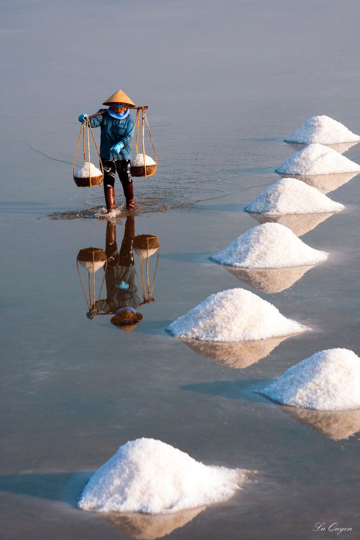
Great Rann of Kutch: Vast salt desert
Little Rann of Kutch: Seasonal wetland
Coastal belt along the Arabian Sea
Semi-desert and grassland regions
This diversity makes Kutch environmentally and strategically important.
History of Kutch District
The historical roots of Kutch go back several centuries.
The Kutch princely state was established by the Jadeja rulers
In the 18th century, it emerged as a prominent regional kingdom
After Indian independence in 1947, Kutch became part of India
In 1956, it was merged into Bombay State
In 1960, it officially became part of Gujarat
Thus, the biggest district in India also has a rich cultural and historical background.
Administrative Divisions of Kutch District
Talukas (Tehsils)
Kutch district has 10 talukas:
Abdasa (Nalia)
Anjar
Bhachau
Bhuj
Gandhidham
Lakhpat
Mandvi
Mundra
Nakhatrana
Rapar
Municipalities and Villages
Municipalities: 6
Total Villages: 1,389
Gram Panchayats: 632
Efficient administration is crucial due to the massive size of the biggest district.
Political Representation
Assembly Constituencies: Abdasa, Anjar, Bhuj, Gandhidham, Mandvi, Rapar
Parliamentary Constituency: Kutch (Lok Sabha)
Why Kutch Is the Biggest District in India
Kutch holds the title of the biggest district in India because:
It has the largest land area among all districts
It includes deserts, coastline, wetlands, and plains
Its size exceeds that of several Indian states and union territories
FAQs:
Q. Which is the biggest district in India by area?
A. Kutch district in Gujarat is the biggest district by area.
Q. What is the area of the biggest district?
A. The area of the Kutch district is 45,674 sq km.
Q. Is Kutch the biggest district by population?
A. No. Kutch is the biggest district by area, not by population.
Q. What is the headquarters of the Kutch district?
A. The headquarters of the Kutch district is Bhuj.
Q. Which state has the biggest district in India?
A. The state of Gujarat has the largest district in India.
Q. How many villages are there in the Kutch district?
A. There are 1,389 villages in the Kutch district.
Conclusion
To conclude, the Kutch district of Gujarat is the biggest district in India based on geographical area. With its vast landscape, unique geography, rich history, and strategic location, Kutch plays an important role in India’s administrative and cultural framework. Understanding the biggest district in India helps improve both general knowledge and geographical awareness.
